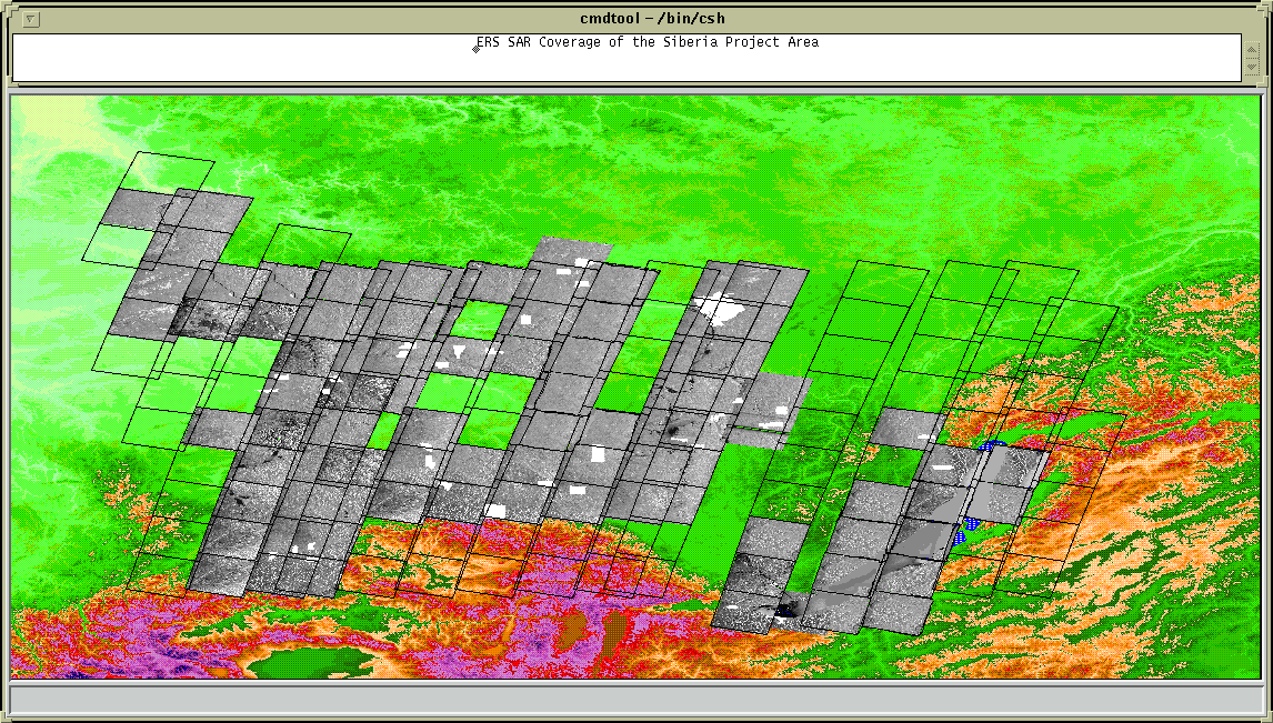

ERS SAR and Field Data Coverage
![]() Information
Information
A selection of available image data are displayed in the image. The field sites, for methodological development are shown in white.
Lake Baikal is shown in blue.
Move your cusor over the image, when the cursor is activated over a particular image click on it and the information will appear in your browser.